Ecchinswell
Ecchinswell is believed to have derived its name from the Old Saxon word Eikena, which itself derives from the Old Norse word "Eik", which is the Icelandic word for tree.
At the time of the Doomsday Book the village was called ‘Eccleswelle’ and the land was used for ‘supplies for the monks of Winchester’.
In the 1920s and 1930s the parish had two churches and a chapel. There was a resident vicar, and the chapel pastor lived at Red Tiles.
There were two pubs - the Royal Oak, which still exists, and The Rising Sun at North Sydmonton, which closed in the 1950s/60s.
There were two shops; one a bakery where the bread was baked in a wood oven and delivered by horse drawn cart to Ecchinswell, Sydmonton and Old Burghclere, the other at the post office, opposite Kisbys Lane, which also had a hand operated petrol pump.
Mill Lane was home to a blacksmiths shop which was always busy, shoeing farm horses from all around the district and repairing farm machinery. Also in Mill Lane was the local carrier, running a bus to and from Newbury for passengers and goods. If someone needed shopping fetching from Newbury they would place a flag at their gate and the order would be collected and delivered to them on the return journey! The carrier also ran a coal merchant business, with coal lorries loading at Old Burghclere station and delivering to several local villages. There was also a water mill, as you might expect, in Mill Lane and farmers would bring their corn to be ground for flour and animal feed.
There was also an undertaker, wheelwright and carpenter opposite the church and there were watercress beds, fed by a spring in the village, the cress being packed in wicker crates and sent to Old Burghclere station for delivery to market.
 Agriculture was the main form of employment, along with the mill and a local tannery.
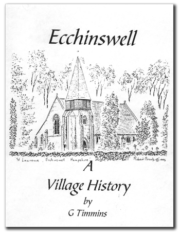
Ecchinswell village was designated a Conservation Area in 1990 in recognition of its special architectural and historic significance. The village has many listed and significant buildings, including the Church of St Lawrence which was designed by Bodley and Garner in 1886.
Click on the image to open the document in a new window. Right-click for saving options.
Sydmonton
Sydmonton, mentioned in the Doomesday Book as ‘Sidemanestone’, is a scattering of houses and farms, including Sydmonton Court, set at the foot of the Downs.
To the west is Ladle Hill, the site of an unfinished Iron Age hill fort and Bronze Age barrows. It is an area of outstanding natural beauty and offers many

attractive walks, including Watership Down (of the Richard Adams book fame) and Beacon Hill.
Bishops Green
Bishops Green is a small village which lies to the south of Newbury but just within the border of Hampshire. Its name is thought to derive from its association with the Bishops of Winchester. The village originally consisted of only a few cottages and farms scattered along the local road (C155) on the edge of Adbury Park. Then, during the Second World War, the American Air Force built two housing estates (the Eagle Road Estate and the Ashlands Estate) to house their air crews who were stationed at Greenham Air Base. When the Americans left, Basingstoke and Deane Borough Council took over the housing, and it has since passed to two housing associations.
The area was completely redesigned and rebuilt, about a central green, in the early 2000s, with the 95 original properties being demolished and replaced by a mixture of rental and private accommodation. A new village hall and shop were also built at this time.
For more information on the project visit www.basingstoke.gov.uk.